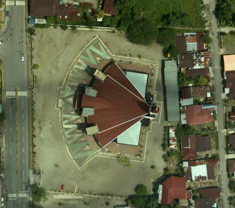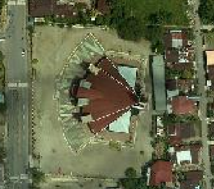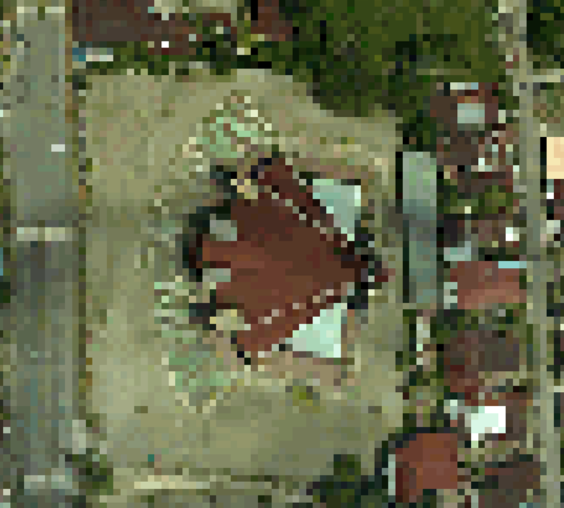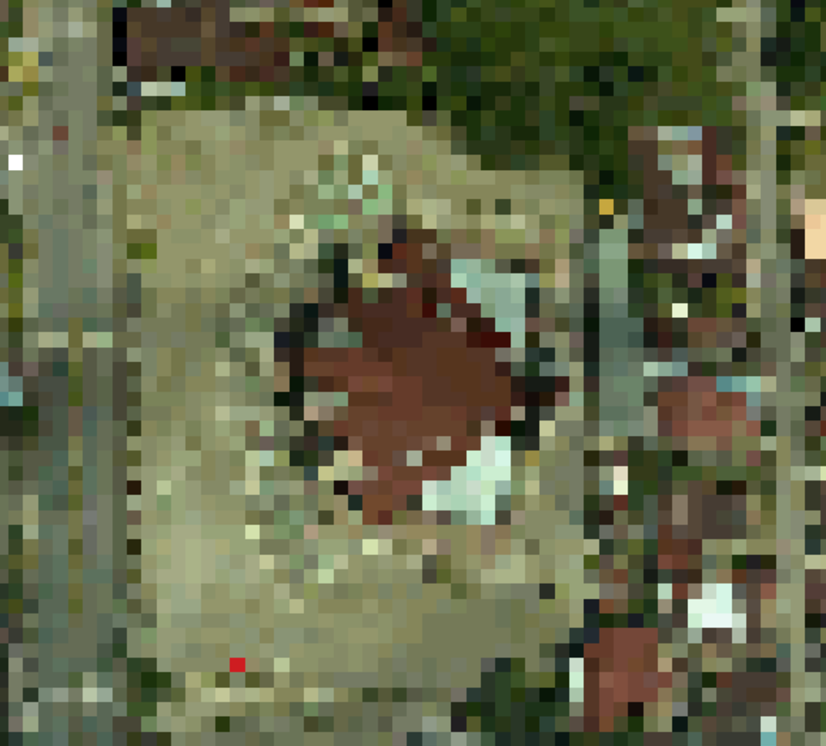
RS
Remote Sensing is imagery processing for high to low resolution from satellite, aerial photo and radar.
- Mining and Oil Exploration
Remote Sensing is a major technology within the mining and oil exploration industries, where it is harnessed to assist in the discovery, assessment and exploration of new mineral wealth.
- Image processing into mosaic and surface model in purpose of Visualization of object; Image sharpening to create a better image; Measurement of various object which lead into pattern; and Image recognition of distinguish object in a image.
- Spatial resolution is a measure of the smallest object that can be resolved by the sensor, or the linear dimension on the ground represented by each pixel or grid cell in the image.